01
Check White Lick conditions
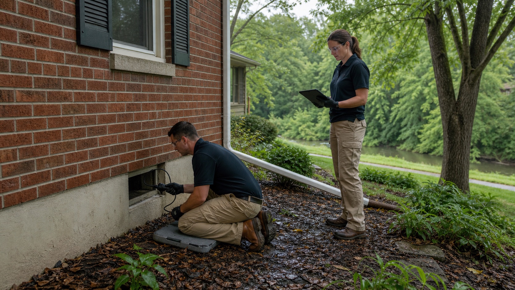
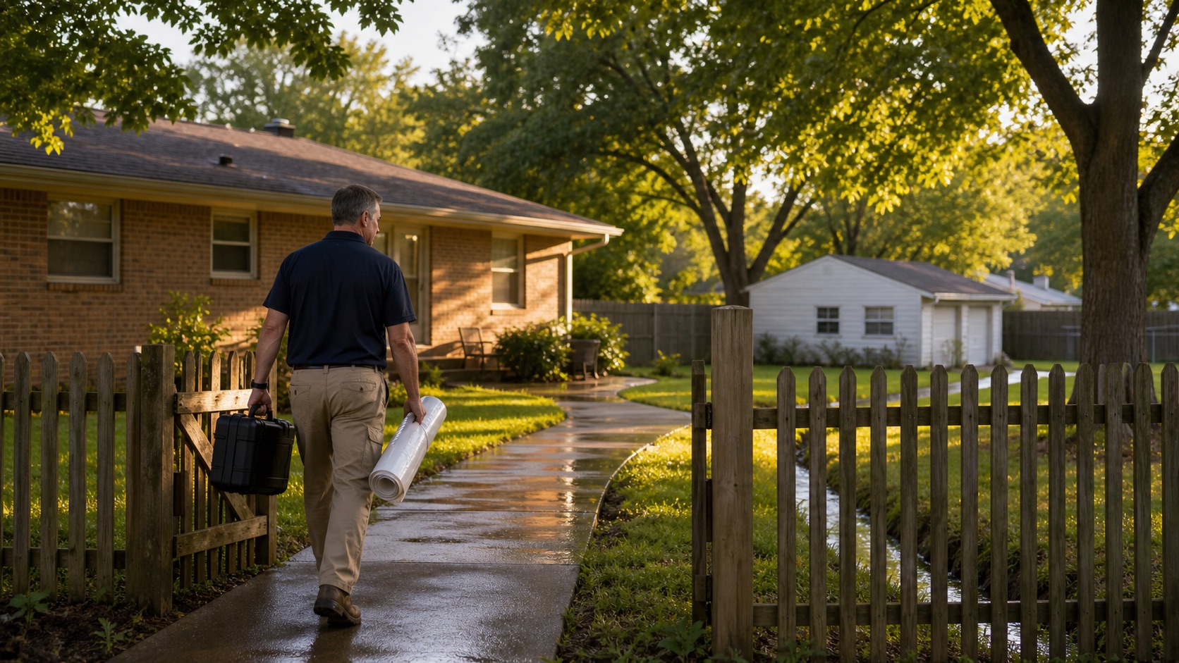
Plainfield links parks and trails along the White Lick Creek floodway and notes that portions may close during high water. Creek conditions and travel access should be checked before dispatch.
Indianapolis Metro restoration help
Plainfield's park and planning materials show White Lick Creek as a defining floodway corridor and warn that creekside routes can be inundated during heavy rain. Safe access and a source-specific inspection come before the drying plan.
What to expect
Plainfield links parks and trails along the White Lick Creek floodway and notes that portions may close during high water. Creek conditions and travel access should be checked before dispatch.
Creek or surface-water entry, roof damage, appliance discharge, and plumbing failures call for different safety, sanitation, and drying decisions.
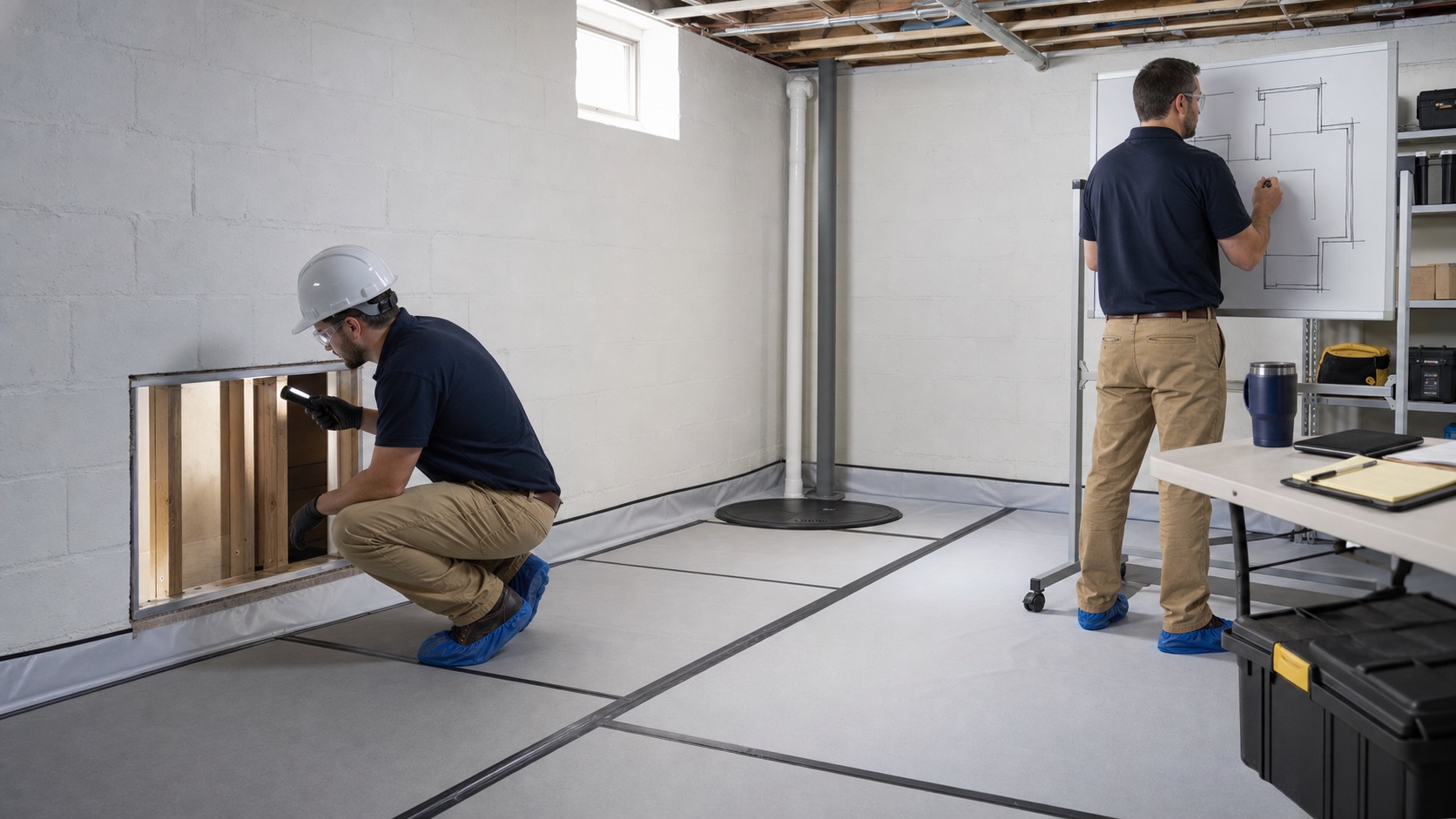
Record the highest water line, lower-level openings, floor transitions, wall cavities, and contents exposure. That map helps define what can be dried and what needs removal.
Plainfield closely regulates floodplain development. If reconstruction changes a structure or site condition near a mapped area, permit review should be identified before final pricing.
Nearby communities
Avon planning focused on White Lick Creek watersheds, hard-surface runoff, and a documented path from exterior drainage to interior damage.
↗02 / View local pageBrownsburg planning that distinguishes rain entry, drainage issues, and possible backups within the White Lick Creek system.
↗03 / View local pageGreenwood planning informed by watershed-based drainage work, floodplain permitting, and evidence that distinguishes runoff from interior failures.
↗04 / View local pageIndianapolis planning that starts with parcel flood context, mapped storm infrastructure, and the building-specific source of damage.
↗Ready when you are
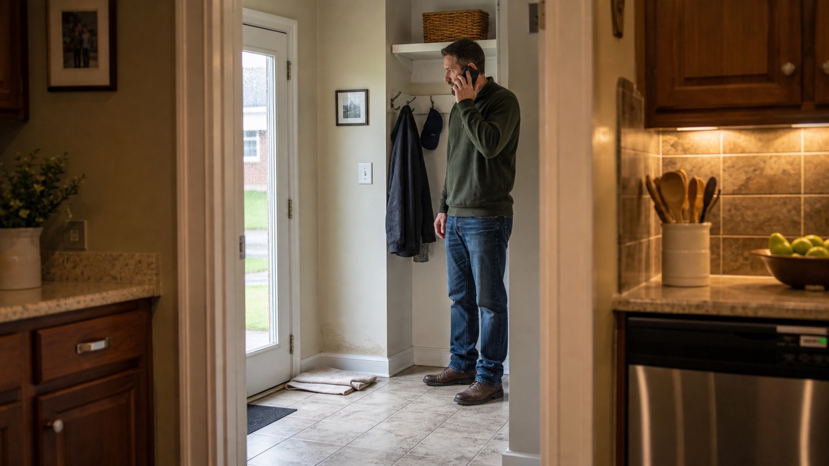
Tell us the Plainfield address, current White Lick or road conditions if relevant, the highest water point, and whether utilities remain safe. We will use that information to plan access.