01
Map the likely water path
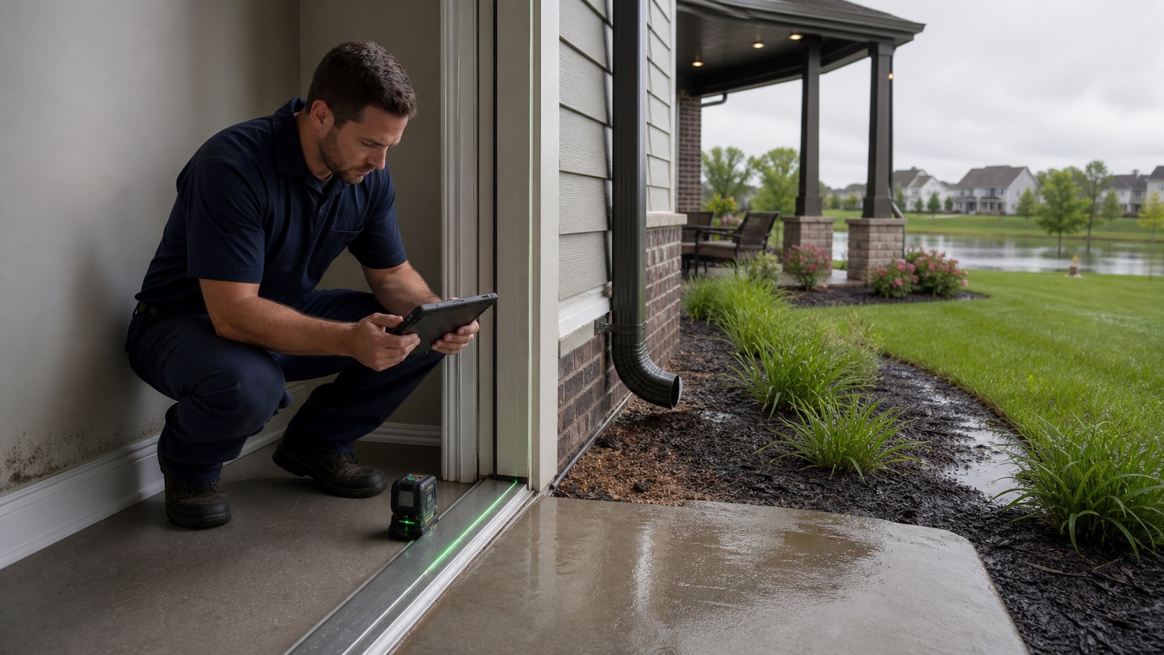
Fishers tracks pipes, drains, ditches, swales, ponds, and underground detention. We inspect the roofline, grade, inlets, sump discharge, and foundation before assigning a source.
Indianapolis Metro restoration help
Fishers maintains about 17,000 storm-sewer pipes and 19,000 drains and manages drainage, ponds, floodplains, and waterways through its Stormwater Division. We use the property's actual water path—not a citywide assumption—to shape the response.
What to expect
Fishers tracks pipes, drains, ditches, swales, ponds, and underground detention. We inspect the roofline, grade, inlets, sump discharge, and foundation before assigning a source.
The city separately handles drainage-easement permits and reports. If an exterior feature may be involved, the restoration record should distinguish private building work from a drainage-system question.
Fishers' program includes Geist and White River stewardship. Water that entered from outdoors should be evaluated by source and contamination potential before drying methods are chosen.
Fishers issues floodplain permits for construction or filling. Rebuild work that changes exterior grades or regulated areas needs early confirmation rather than a late permit surprise.
Nearby communities
Carmel restoration planning attentive to public storm drains, privately maintained neighborhood ponds, and local building review.
↗02 / View local pageNoblesville planning informed by White River watershed conditions, address-specific floodplain resources, and safe property access.
↗03 / View local pageIndianapolis planning that starts with parcel flood context, mapped storm infrastructure, and the building-specific source of damage.
↗04 / View local pageWestfield planning informed by mapped pipes, ditches, detention systems, and the different access needs of homes and large facilities.
↗Ready when you are
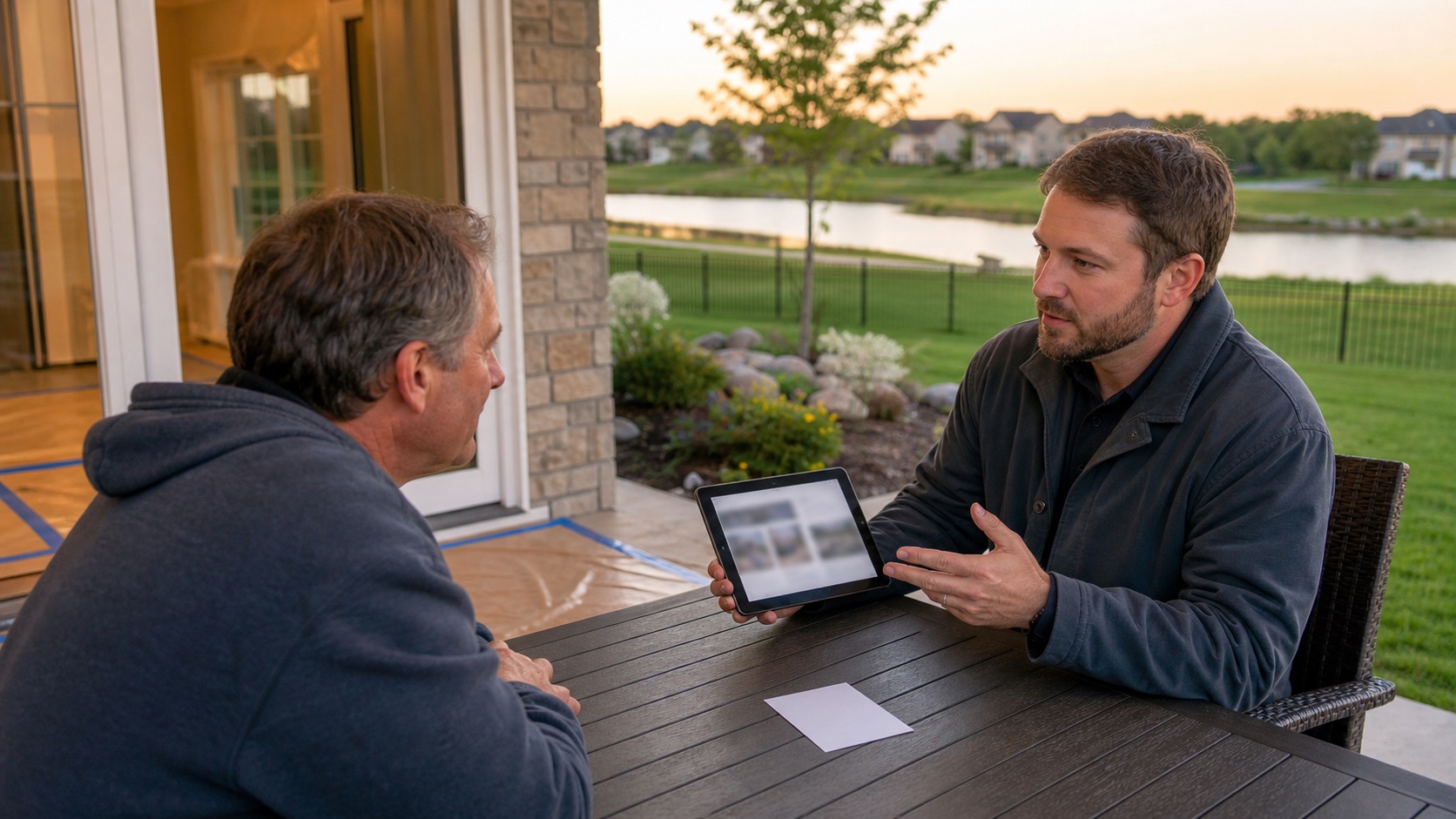
Tell us where the Fishers property sits relative to a pond, swale, drain, or waterway and what changed during the event. Those details help narrow the inspection.