Noblesville restoration planning for river, creek, and building conditions.
Noblesville provides flood-hazard resources and participates in White River watershed stormwater work. A sound response plan checks address-specific conditions and considers safe access, the observed water source, and the building together.
A Noblesville response plan that accounts for water and access.
02
01
Identify the waterway context
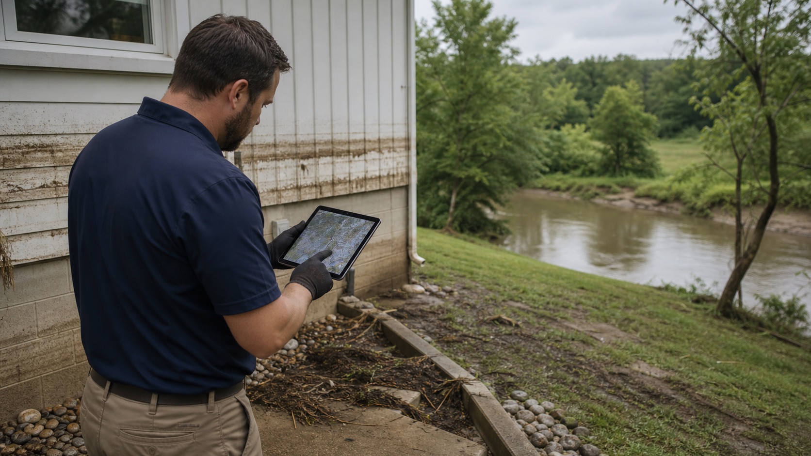
City resources direct property owners to official flood maps and address-specific floodplain information. The property's location and observed water direction help separate outdoor flooding from roof, drain, or plumbing failures.
02
Confirm safe access first
Flood conditions can change access and electrical safety. Arrival, equipment staging, utilities, and occupant safety must be considered before entering affected areas.
03
Protect irreplaceable contents
Early triage should identify documents, photographs, textiles, and other priority items before broad disposal decisions, while keeping contaminated materials isolated.
04
Plan for the watershed setting
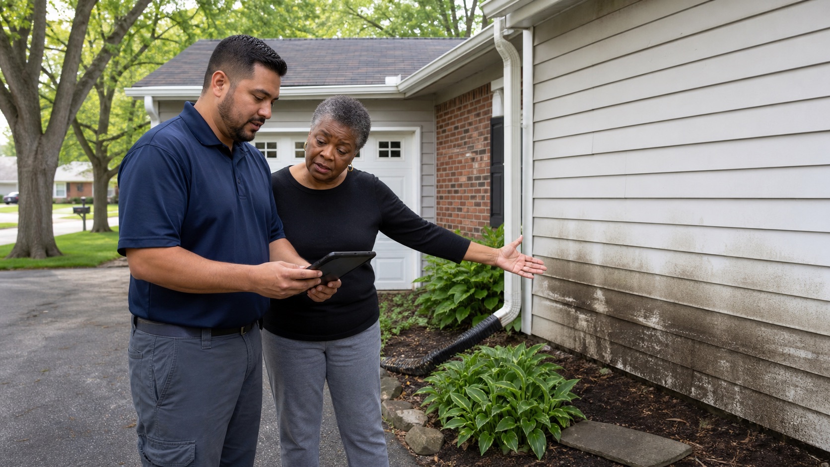
Noblesville's stormwater program works within the White River watershed. Exterior sediment, standing water, and drain conditions should be documented alongside indoor moisture mapping.
Start with a conversation. We will take it from there.
Share the Noblesville address, nearby river or creek conditions, access limitations, and the highest point the water reached. We will use that record to plan the next step.